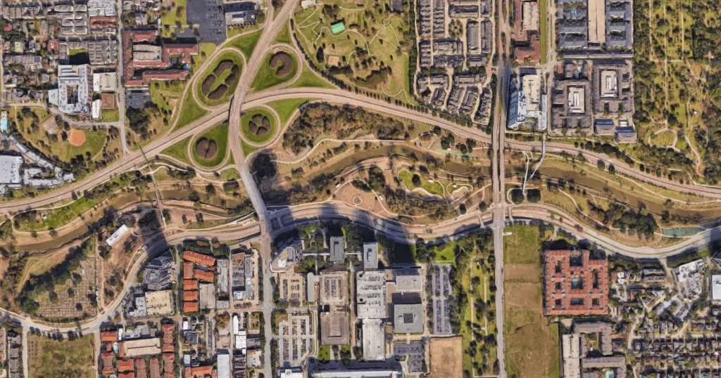
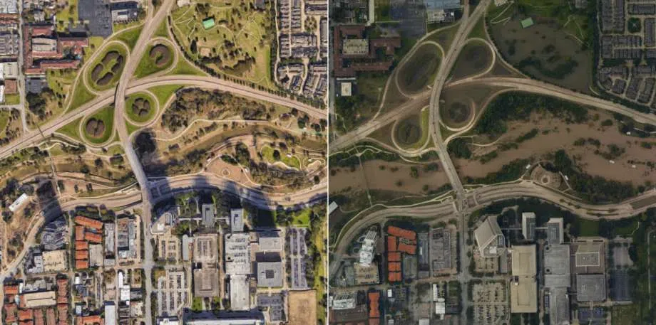
Wednesday afternoon, the clouds in Houston finally cleared and the sun began to shine after more than five days of rain from Hurricane Harvey.
Photographers and pilots with the National Oceanic and Atmospheric Administration went up in planes to shoot aerial photos of the waterlogged and wind-battered cities of Corpus Christi, Galveston and Houston.
The dramatic photos, which were largely taken on August 30, capture a portion of the damage the Texas coast has experienced since the Category 4 hurricane made landfall on Friday, August 25, 2017.
The photos, which primarily focus on the western region of Houston along I-10, clearly show the murky flood waters filling the city’s streets, yards, bayous and lakes.
View the photo gallery here.